Drone detection applications
Operates on military & commercial drones
Wide frequency capability is critical to detecting MALE, COTS, and modified drones operating on frequency bands from 100 MHz to above 10 GHz.
Integrated into leading C-UAS
CRFS RF sensors are integrated into globally renowned C-UAS, including L3Harris’ Drone Guardian and Rafael's Drone Dome.
Additional full spectrum monitoring capability
Users are not limited to solely detecting drones with CRFS' RF receiver network; the system can also be used to monitor all RF traffic around the installed location.
Detect the signal of interest, not the drone
Open-ended signal detectors search for specific signals (including telemetry, video links, payload data transfer) rather than for individual drones—a more intelligent and effective approach to drone detection.
Low false positives
Signal detectors are designed to generate low false positives, and CRFS software has additional filtering capability to add an extra layer of security, eliminating false positives.
High operating range
Employing a mixture of standard omnidirectional antenna systems and higher gain antennas, CRFS technology extends the operating range of RF systems when detecting COTS drones operating with low power.
Detect drone swarms
Advanced RF systems have rapid geolocation detection cycles, allowing the detection of multiple commercial or modified drones with refresh speeds of once per second.
High accuracy geolocation
CRFS technology can locate military drones at up to 400 km and provides highly accurate 3D geolocations.
Open architecture
Using CRFS' geolocation streams in your C2 system is simple, thanks to our geolocation streaming service and APIs.
Brochures & guides
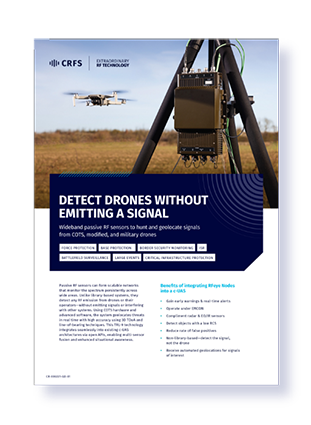
Detect drones without emitting a signal
Wideband passive RF sensors to hunt and geolocate signals from COTS, modified, and military drones.
Drone detection expertise

Principles of geolocation techniques
This white paper describes the underlying principles of geolocation techniques (AoA, TDoA, FDoA, & PoA) and outlines their applications.
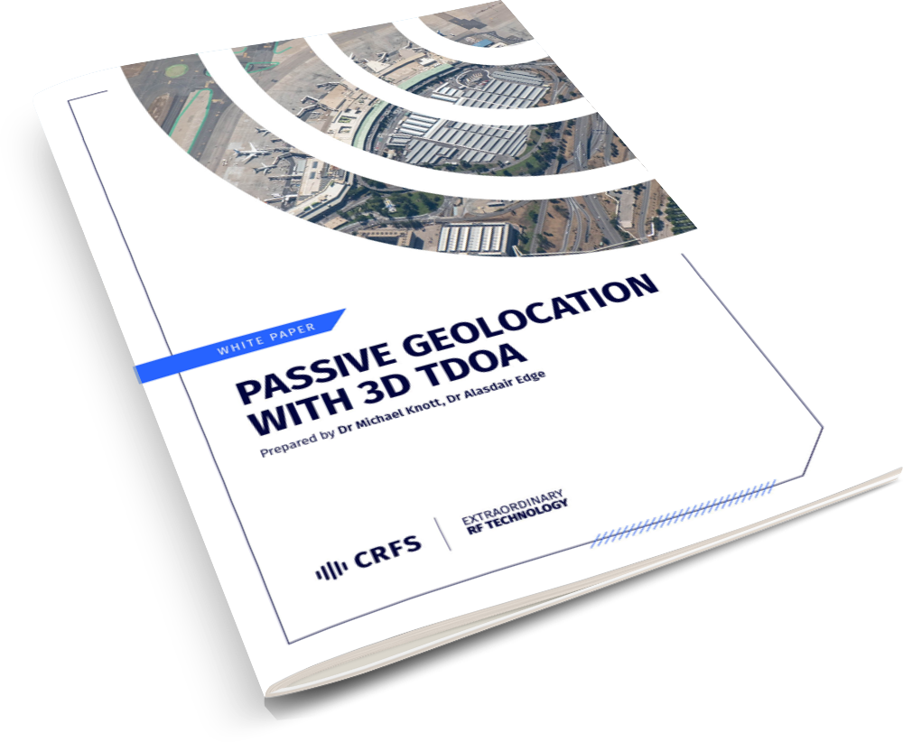
Passive geolocation with 3D TDoA

Advanced geolocation capabilities
Learn about advanced geolocation capabilities, AoA, TDoA, PoA, multi geolocation, and much more.

Related reading

Why today's C-UAS systems must be built to defend against tomorrow's USVs and UGVs

How RF-enabled C-UAS enhances Advanced Air Mobility
