
How a NATO partner built an air defense platform to increase national security
DOMAIN: AirAPPLICATION: Air defenseCUSTOMER: Military end-user
SITUATION: Responding to all possible aerial threats
Modern armed forces have long been concerned with the threats presented by medium-altitude, long endurance (MALE) unmanned aerial vehicles (UAVs). Such UAVs are commonly used for intelligence, surveillance, and reconnaissance (ISR) purposes, target painting missions, and as loitering munitions.
Ubiquitous threats from multiple directions spurred one MoD to augment and add to the capability of its air defense platforms by adding CRFS’ unique passive detection, geolocation, and intelligence capability. Its adversaries have a wide range of drones to perform ISR, so it wanted to detect and 3D geolocate enemy drones long before ingress to their territorial airspace.
The NATO partner required powerful SDR technology with exceptional detection range and sensitivity, capable of tough-environment missions over a vast theatre of operations.

SOLUTION: RF receivers with wide frequency capabilities
The military customer operates an air defense platform designed by a globally renowned system integrator. Attracted by CRFS’ passive systems’ ability to operate against this range of threat vectors, it invited collaboration to enhance their sensor capability. They wanted RF capability to eliminate false positives and provide highly accurate tracking data.
Its chosen solution was a network of RFeye Nodes placed throughout the country, working alongside other sensor systems and feeding data to the command and control platform. RFeye Site software then identifies targets and can determine if targets have penetrated internationally recognized borders.
And, as the RFeye Receiver is a passive device, it provides long-range detection and tracking without the enemy knowing they are being watched.
RESULTS: A robust air defense platform
The military can monitor and classify drones across its vast border in its own airspace and hundreds of kilometers into its neighbors’ airspace. It can also conduct extensive coastal surveillance operations.
The solution can see UAVs long before they approach the border and become a potential threat or source of interference. If sovereign airspace is violated, the command and control software will initiate a targeted engagement or jamming response.
The country’s air defense capabilities have been significantly enhanced.
Related products
Hardware and software related to this deployment story.
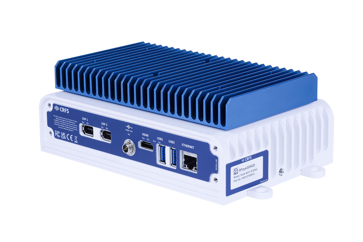
RFeye Node 40-8
A wideband RF receiver to ensure you never miss a signal. The RFeye Node 40-8 provides the latest superheterodyne receiver technology to provide outstanding quality and performance at a highly competitive price.
RFeye Node 100-40
RF receiver with a 100MHz instantaneous bandwidth. Packaged in a lightweight weatherproof rugged form, the Node 100-40 delivers 24/7 365 spectrum vigilance for long-term deployment in harsh environments.
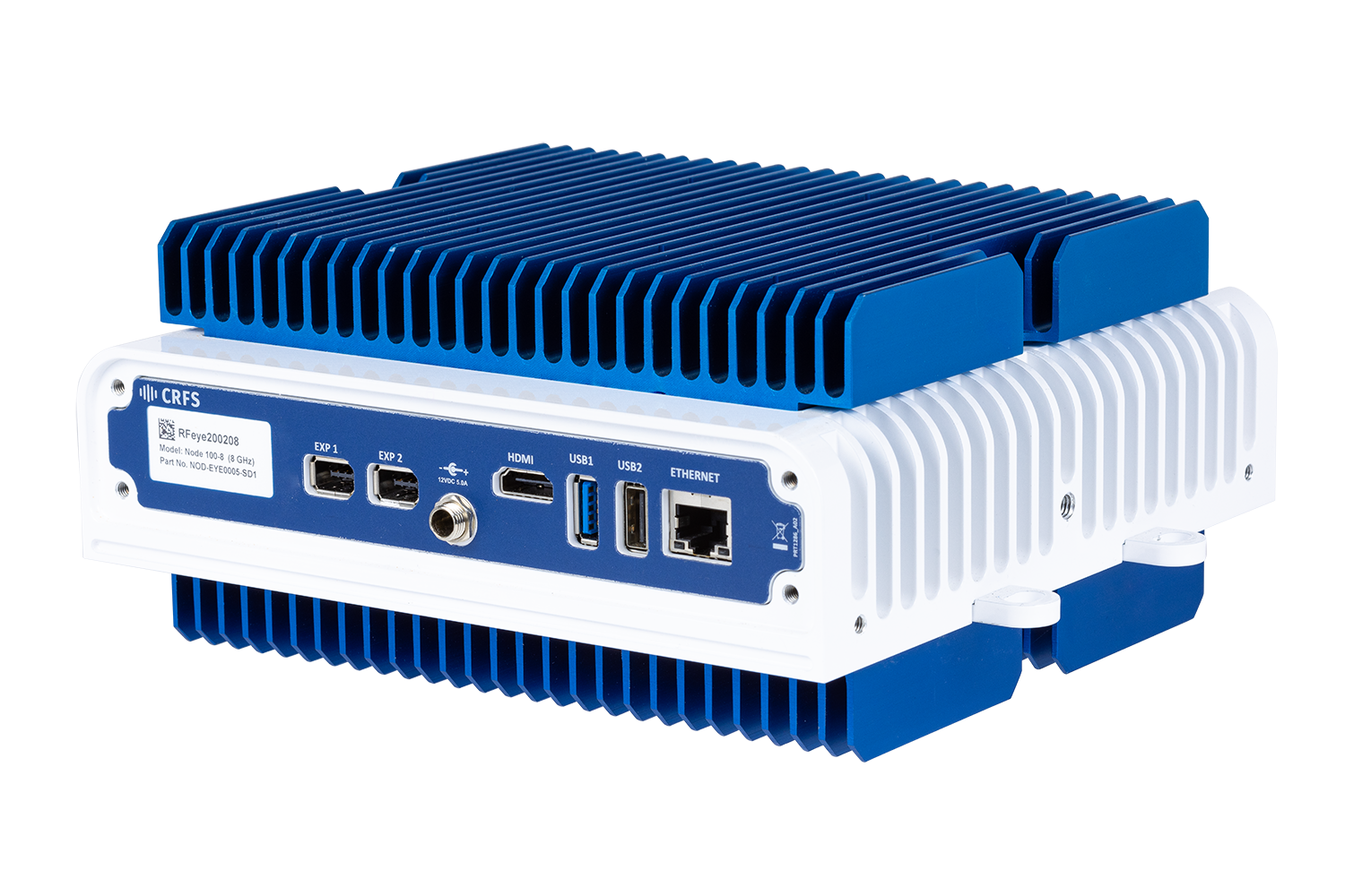
RFeye Node 100-18
The wideband RFeye Node 100-18 is a complete spectrum monitoring and geolocation system. Optimized for size, weight, and power (SWaP), it is simple to connect, power, and network.