How combining ground & air-based RF sensors improved ISR and target acquisition
DOMAIN: AirAPPLICATION: Intelligence, surveillance & reconnaissanceCUSTOMER: Military end-user
PROBLEM: Protecting large geographical areas from hostile threats
For full situational awareness, governments and their armed forces may elect to perform intelligence, surveillance, and reconnaissance (ISR) missions across international waters and borders.
Some of these mission areas can be geographically very large. If at sea, executing effective ISR missions and gathering the required data is extremely difficult.
Spectrum monitoring represents a critical element in ISR missions. Knowing who is exploiting EMS (voice, data, sensors such as radar), what they are transmitting, and where they are located are all extremely valuable data points.
However, spectrum monitoring systems are hampered by the restrictions imposed by the radio horizon and the physical geography. Introducing air-based RF sensors allows an operator to detect radio signals from a much more extensive collection cone.
One MoD client recognized the increased value of their intelligence gathering by being able to deploy RF sensors on airborne assets. This would solve the coverage issues they experienced, especially in naval applications with a vast operational theatre and a limited number of assets available. They approached a renowned drone platform vendor, and CRFS to collaborate and deliver a solution.

SOLUTION: Ground & air sensors working together
The client operator deployed a number of RFeye assets, including the Direction Finder (DF) Arrays, at appropriate locations on high ground. DF Arrays are high-performance, fixed-site systems designed for spectrum monitoring and locating radio frequency (RF) signals using angle of arrival (AoA) techniques. They use multiple antennas and advanced signal processing techniques to precisely locate the direction of a signal, even in complex and noisy environments.
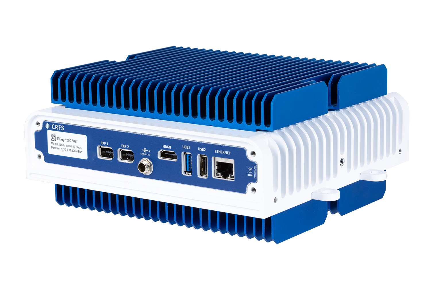
The airborne deployment required innovation and integration work. Existing MALE (mid-altitude, long endurance) drones were fitted with RFeye Nodes as an ISR payload. When fitting a drone payload, many critical considerations typically challenge the integrator: size, weight, power, environmental operating range, and backhaul data rates.
The RFeye Node was an ideal choice. Small and weighing approximately 3kg, the RFeye Node requires very modest powering and does not negatively affect the drone’s operational endurance. It is capable of withstanding extreme environments, happily operating at the freezing temperatures experienced at 3000 feet (1000 meters) with no performance degradation.
RFeye Nodes operate in narrow backhaul environments. The unit is a complete RF front-end, and processing is performed on-board. Therefore, the data connection is extremely ‘thin,’ maximizing the available bandwidth to deliver required data in real time.
RESULTS: All objectives met
The military operator increased its spectrum coverage range by combining fixed land-based RFeye Arrays and flexible air-based RF Nodes. Multiple sensors allowed the military operator first to build a detailed picture using ground-based assets before sending RFeye Nodes to 3000 feet, operating many hundreds of kilometers, increasing both the signal horizon and line of sight.
The combined mix of ground-based DF and air-based RF sensors enabled both AoA and TDoA geolocation of a range of signal types, meaning the operator can now perform ISR missions over a wide area (thousands of kilometers). Last, as the process is passive surveillance, any hostile forces operating in that area remain completely unaware.
The military end-user took its operation capability from being clever to supremely intelligent.
Related products
Hardware and software related to this deployment story.

RFeye Mission Manager
RFeye Mission Manager is a toolset for automated spectrum management and near-time incident reporting.
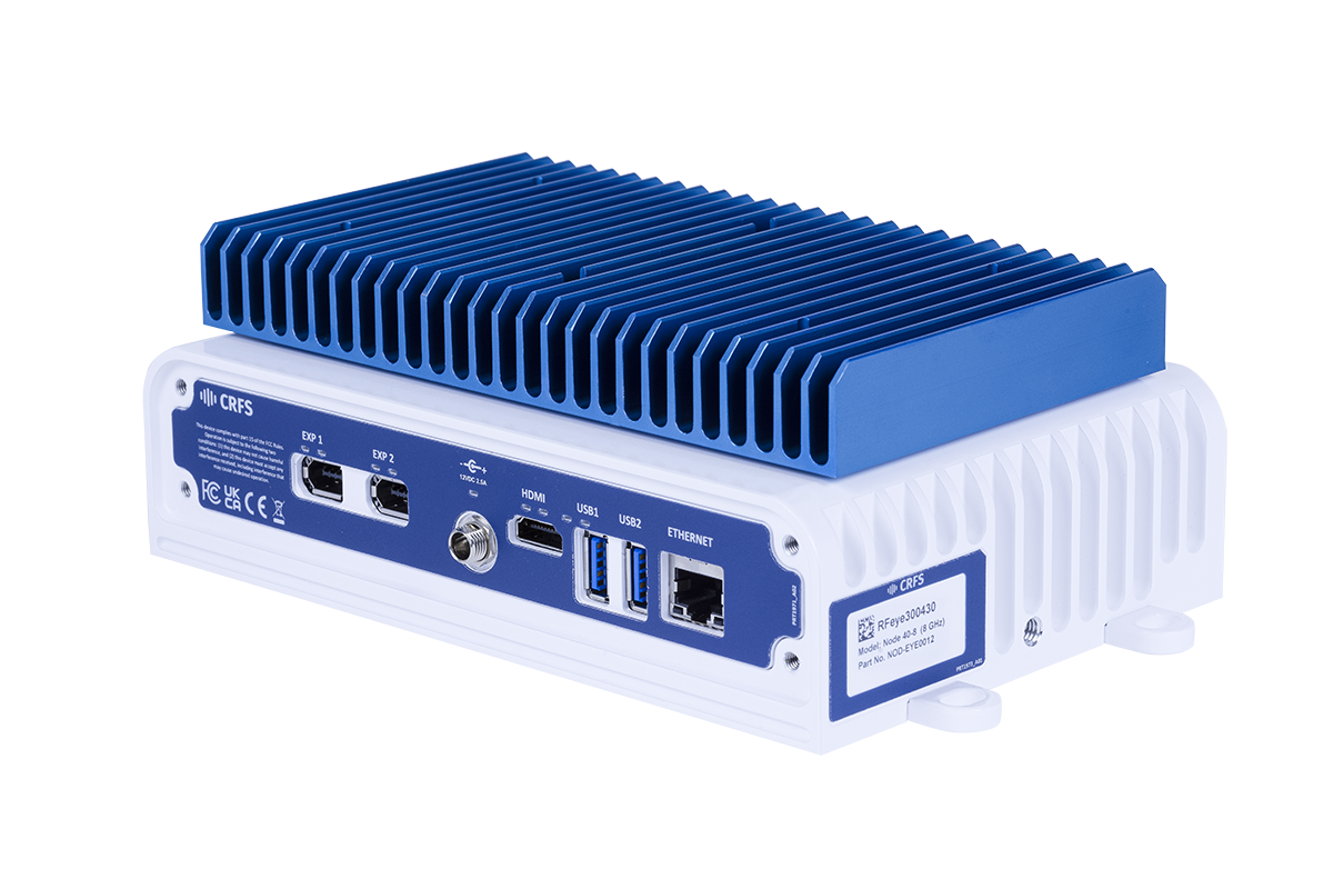
RFeye Node 40-8
A wideband RF receiver to ensure you never miss a signal. The RFeye Node 40-8 provides the latest superheterodyne receiver technology to provide outstanding quality and performance at a highly competitive price.
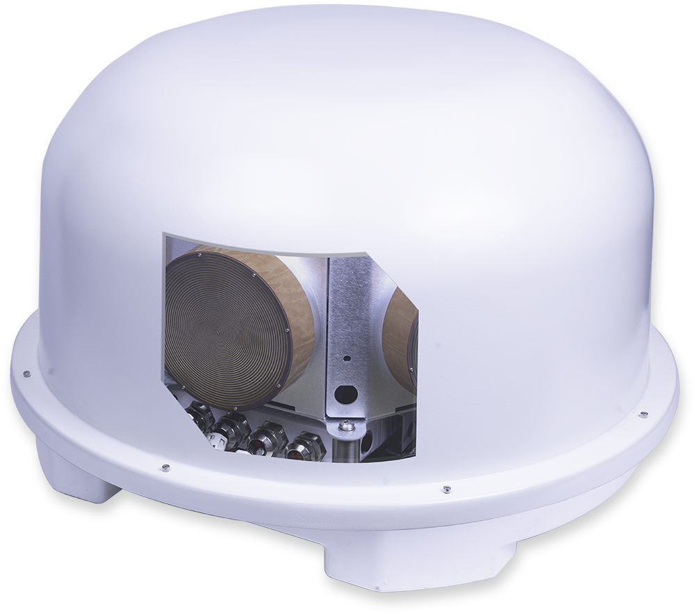
RFeye Array 100
Direction finding and advanced plug-and-play geolocation system. Fully integrated, multi-mission systems for fixed, vehicle, or transportable applications with DF, monitoring, and geolocation capability.
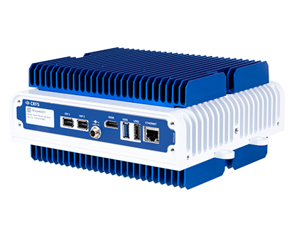
RFeye Node 100-40
RF receiver with a 100MHz instantaneous bandwidth. Packaged in a lightweight weatherproof rugged form, the Node 100-40 delivers 24/7 365 spectrum vigilance for long-term deployment in harsh environments.