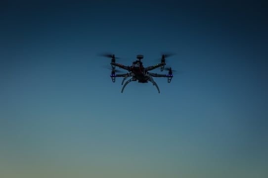
Airborne target acquisition
Augmenting SHORAD systems with electronic support capabilities
By Babak Taghvaee / 15.02.2024
Last month’s webinar, “The Anatomy of An Effective Counter Drone Solution”, generated far more questions than we had time for in the allotted hour, so we invited the presenters (Jon Bradley, VP International Sales at CRFS and Brian Shand, VP, Chief Engineer & CTO at L3Harris ASA) back to answer them. Here are their responses, covering a wide range of counter-drone topics:

Brian Shand- L3Harris

Jon Bradley – CRFS
JB: The answer to this is both simple and complex. The simple answer is +/- a few meters – in perfect conditions. The longer answer should take into account all these conditions: quality of the timing source, relative spacing of the receivers, the signal parameters, and any impacts of the terrain. Suggest to refer to a previous Webinar recording “TDOA – A Modern Geolocation Solution” and also the CRFS whitepaper “Principles of Geolocation Techniques“.
JB: Yes, if we have some differentiating feature of an authorized drone. CRFS advocate a long-term system of drone registration and allocation of specific airspace. With use of micro ADSB transponder you can easily create white and blacklists. With allocated airspace, one can simply use geofencing (in 3 dimensions) to also determine correct use of airspace.
BS: If using a jammer that broadcasts across the band then all equipment operating in that frequency band will be impacted, whether it be a drone or indeed any other equipment in the direction of jamming. Systems do exist that could apply a more surgical RF broadcast to disrupt the specific controller frequencies and ‘take over’ the drone.
JB: For CRFS, this is no worries. We are basing our detection, geolocation and tracking on the energy signature. The encoding does not impact us.
JB: Yes, very easily. We have many clients who operate multi-sensory border control systems that incorporate CRFS capability as a critical element – please refer to our contact page or call your local sales person for more.
BS: The effector must be chosen to meet the threat profile and operational constraints for war fighting, peace keeping and peace enforcement. The constraints in each case will be situation specific. In terms of an airport location for a drone using inertial navigation there are a number of potential options (e.g. net guns, directed energy) but which could or would work will depend on the specific site and the constraints for that site.
JB: No, not at all. On the live Q&A I related many cases where we start detection as soon as the drone and/or controller are switched on at ground level.
BS: Most of the sensors Drone Guardian has integrated with can detect the drone below 100m. The coverage is dependent on deploying the sensors appropriately to observe the threat area.
JB: I totally agree! If there are no RF emanations, we have nothing to detect against and hence geolocate and track. Hence why CRFS advocate a multi-sensory approach in a cUAS system. However, as we mentioned, this is extremely unusual. The hobby flyer usually has there FPV on. Even a bad actor wants video for target acquisition/identification or even propaganda purposes.
BS: No, Drone Guardian takes a layered multi-sensor approach, although a Drone may not be transmitting, one of the other sensors will be able to detect the drone e.g. radar, acoustic, cameras.
JB: For a great answer with illustrations, please refer back to our previous webinar on TDOA. A quick answer, for 2D geolocation that’s 3 receivers. For 3D geolocation that’s 4 receivers.
BS: The Drone Guardian system validated by CPNI used five receivers; these were necessary to provide the coverage by a minimum of four sensors across all locations of the site being protected.
BS: In order to deploy any sensors or effector it is recommended that a comprehensive site survey is conducted to identify potential hazards/impacts on the existing infrastructure. Directional jammers could be used and prevented from transmitting in defined zones to minimize any impact, however, this itself reduces the impact of the effect itself.
JB: Correct, we are currently working with a number of vendors looking to place our RF component into a LEO deployment.
BS: The Drone Guardian system enables integration of a range of effectors to defeat the widest possible range of drones across potentially all classes. However, above class 2 the solution is most likely a military GBAD capability – Drone Guardian heritage in the Military domain is provision of the multi-sensor integration and situational awareness capability.
BS: Drone Guardian is approved to UK CPNI Tier 3.
JB: The CRFS system handles hundreds of detection and geolocation processes per second. The advanced software can then perform ballistics tracking and decide specific target ID and track those. I’ve never tested the limits, but bring it on!
BS: The Drone Guardian system can handle thousands of tracks from multiple sensors. In other domains we have tracked multiple closely spaced targets (a swarm). The sensors need to be able to detect the individual targets to resolve each individual element in the swarm.
BS: Yes, the Drone Guardian C2 and analytics engine is fielded with customers to enable detection, tracking and identify of difficult air targets.
JB: This is dependent on the transmitter of interest. As we covered on the webinar, a COTS device has cheap chipsets and transponders and can work over 1-4 km. Mil systems are built to run over 100s of km. The CRFS solution has an amazing sensitivity and will detect and track over even wider distance than that.
BS: The Drone Guardian system supports multiple sensor inputs to provide a layered protection. This enables sensor deployments to be distributed to maximize detection and defeat. The ‘range’ or coverage will depend on a lot of factors such as terrain, type and size of drone, signal strength from the drone for RF detection etc. The sensors selected for our CPNI-validated capability (for commercial drones) includes a radar range up to 2km, the RF sensors 1-4km (depending on RF transmission strength) and a camera with a range of up to 0.6-1km.
JB: True, but if you have micro ADS-B in place, you can easily correlate geolocated signals to ADBS whitelist. Anything which does not have a corresponding ADS-B record can be considered as blacklist.
BS: Micro ADS-B provides another sensor source for Drone Guardian to correlate with the other sensors to identify ‘friends’ from threats.
JB: As we discussed on the webinar. We utilize an advanced GPS chip set which constantly measures quality of signal, plus looks for any spoofing. If that is activated, we cross over from received GPS to internal timing. The internal timing works by training on GPS when present and then provides accurate synch for up to 9 hours. Hence our systems carry on being able to both detect and perform the TDOA correlation.
JB: As we answered on the webinar, the detector can be set with a narrow frequency range or a really wide one. That’s down to the user and your specific threat vectors. We can show you this in action if you are interested to see.
BS: Deployment of any radar solution as part of a C-sUAS will need to be assessed to ensure there is no mutual interference with an ATC radar. This is dependent on the type of radar to be deployed i.e. frequency range and power. We currently operate with the QinetiQ radar system at a UK airport with no issues.
JB: Yes of course. With its wideband capability, CRFS receivers are used in a range of activity for all cellular bands. In the cUAV space. Remember that from the energy emission, all mobile handsets will look the same on the ground, so further information will be required to determine which is the controller (for example, it might be in a controlled area). For the drone, the altitude reading will tell you that you have an issue. Unless it’s a bird carrying a phone….
JB: The minimum pulse width – well the receivers can sweep at speeds above 350Gsamples/second. Let’s say 9 nanoseconds and I’ll leave you to find some Tx which can beat that!
JB: The CRFS receiver is designed to work with a range of transport medium (native ethernet (optical and copper), plus USB means the other options are limitless). More importantly we have designed the system to work in very constrained backhaul environments. Remember that a lot of processing happens at the receiver and we simply port back the data required for the centralized processing Typical Tx speeds when performing TDOA are around 200-300kbps. We believe we can reduce that if needed.
BS: In designing a specific site deployment the connection of sensors to the command center will need to be addressed. There are many methods for providing power and secure data communications to the suite of sensors or effectors. The method will depend on the specific environment.
BS: The Drone Guardian system has an open architecture to enable integration of future sensor and effect technologies that will emerge as the threat evolves. Our approach is to continually adapt the C2 and data analytics to enable the system to expand as the threat changes.
JB: Yes, we can do that very easily. Remember the quick demo we showed in the webinar. It’s very easy to measure the raster pattern and other parameters.
BS: To be able to identify the drone this is a sensible choice, for detection radar systems may be needed. Drone Guardian provides a multi-sensor, multi-layered approach to the problem.
JB: In my practical experience – all sorts! Hence the need for a wideband receiver. Common non-ISM bands include 4.2GHz, 833MHz, 433MHz. There is a lot of spectrum out there to try and hide in. Hence why the CRFS automated detectors are so important. If it’s on the spectrum, its ours.
JB: Well, as per the webinar. We make positive detections then geolocate and track in 3D. Hence for cueing a jammer etc it’s a great capability. As we mentioned a number of times, the concern may be to have a single source of truth and that’s why the command/control element using multiple sensors is critical.
BS: Integration of an RF sensor into the C2 system enables selection of the frequency band on which to jam a specific drone. However, commercial drones often are capable of operating in multiple bands and will switch band if interference is detected.
BS: From a detect, track and identify perspective the system is designed to utilize multiple sensor technologies. There is no single sensor that will deal with the threat – an “RF dark” drone is a good example of this. When RF silent radar, cameras and acoustic for example will still be able to detect the Drone.
BS: This would depend on the ‘model’ of the net gun i.e. fixed or handheld. These are short range devices < 500m.
JB: We can provide you some recordings of course. We have 100s here. The key point is that we don’t provide you a library, we provide the user the ability to build their own library. Remember also my warning in the webinar on the important of NOT being too reliant on a simple deterministic small range of library signals.
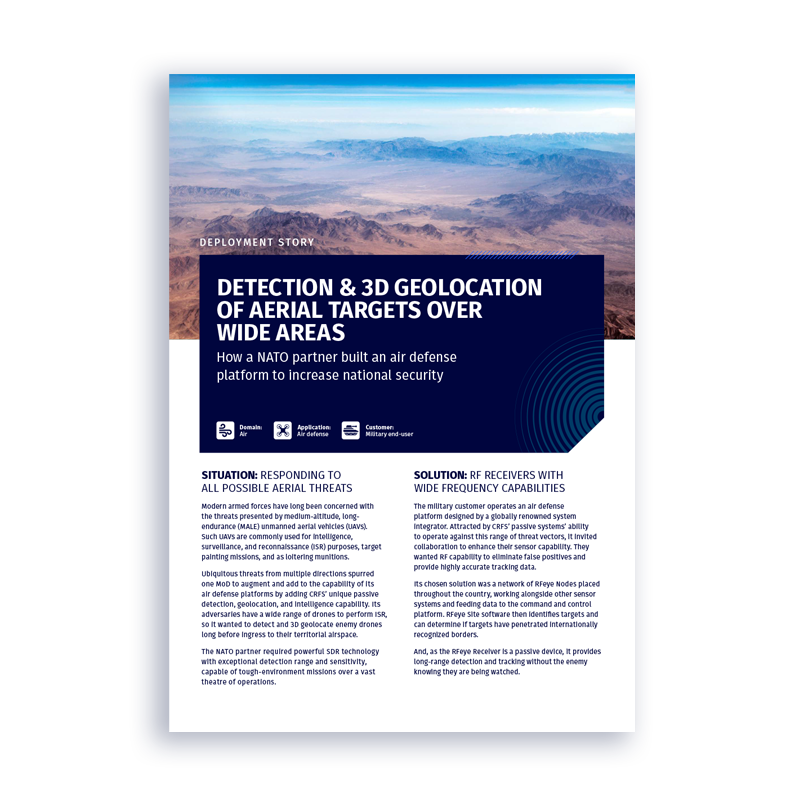
Deployment story
How a NATO partner built an air defense platform to increase national security
Join thousands of professionals who subscribe for exclusive insights and early access to our reports and analysis.
